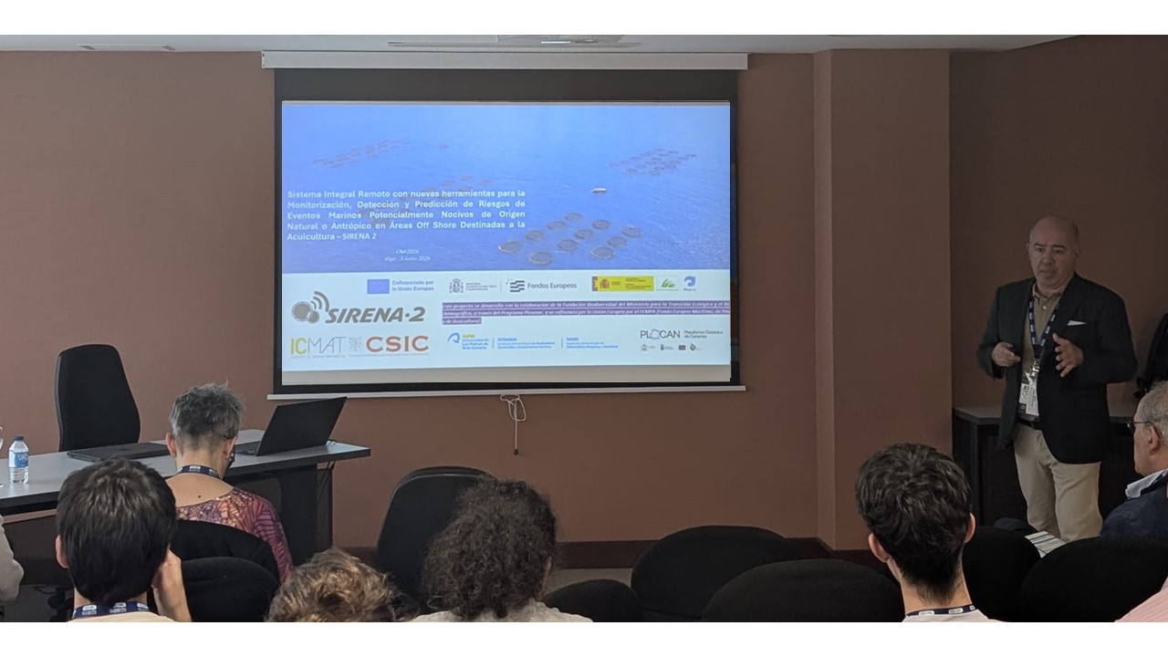
La Plataforma Oceánica de Canarias (PLOCAN) ha iniciado una misión científica para estudiar las características del ecosistema marino macaronésico comprendido entre Canarias y Cabo Verde, utilizando un vehículo no tripulado de observación marina WaveGlider, lanzado este fin de semana en aguas próximas al Puerto de Taliarte, en Gran Canaria.
El dispositivo, rumbo ya a Cabo Verde, recogerá durante un plazo de entre seis y ocho semanas, datos oceanográficos y meteorológicos de la zona estudiada, cuyo análisis favorecerá un mayor conocimiento del ecosistema marino atlántico, sus modificaciones, vulnerabilidades y oportunidades.
This initiative, carried out in collaboration with the Technical University of Denmark (DTU) and the Center for Marine Environmental Sciences (MARUM) of the University of Bremen, is part of the European project Mission Atlantic, as part of the program to characterize the Atlantic Ocean ecosystem through monitoring physical and biogeochemical variables of seawater.

Mission Atlantic, funded by the European Union’s Horizon 2020 program with 11.5 million euros, aims to study changes in the Atlantic Ocean through variations in current and water movement (oceanographic dynamics) and their chemical substances (biogeochemistry), as well as fish and cetacean populations in the area, located through the sounds they emit underwater (acoustic traces), all within the context of Integrated Ecosystem Assessment (IEA), carried out both at regional and Atlantic basin scales.
The interest in the selected study area, and therefore this mission, lies in both its uniqueness and its great ecosystem richness and diversity, a consequence of the upwelling system and the Canary Current integrated into the North Atlantic Subtropical Gyre.
The WaveGlider device used in this round trip mission between the Canary Islands and Cape Verde is configured with a unique architecture of interconnected components (power, telemetry, payload, and processors) distributed in three main modules (float, engine/rudder, and tow), which, combined with its ingenious propulsion system based on harnessing wave thrust, make this unmanned autonomous platform an ideal solution for addressing this type of long-duration mission in a safer, more efficient, and sustainable manner.
WaveGlider has integrated a set of sensors for measuring physical and biogeochemical variables of seawater and meteorological conditions, such as pressure, conductivity, temperature and dissolved oxygen of seawater, underwater sound (echo sounder), wind direction and intensity, atmospheric pressure, relative humidity, and air temperature.
In particular, the passive acoustic sensors, installed in the tow module, will enable the recording of the presence of certain species of marine mammals and fish along the planned route, through the detection of their characteristic acoustic traces.
The WaveGlider is remotely and continuously operated and supervised by PLOCAN and DTU technicians, using bidirectional satellite telemetry and navigation aid tools integrated into a real-time piloting interface. As part of its navigation system, the device has an AIS (Automatic Identification System) receiver, which allows it to receive information and location of other nearby vessels, helping to improve navigation safety.